

C8 PlanetScan
Open Access Edition
GeoAI for communities managing climate change

How does PlanetScan Open Edition
Benefit Communities?
-
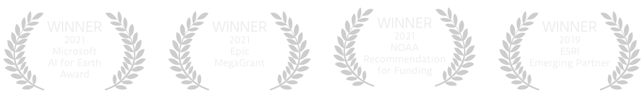
PlanetScan helps communities identify best mitigations and adaptations for climate change using advance GeoAI with the generous support of Microsoft, Epic Games, and ESRI, all leaders in Planet Scale computing.
-
Eliminates costly data licensing schemas and technology investments of the PlanetScan Pro version to qualifying community partners.
-
Allows community engagement with mitigation and adaptation strategy surveys and on the ground incident reporting and community feedback.
PLAN WITH FORESIGHT.
RESPOND WITH PRECISION.
PROBLEM: It’s simply too costly and slow for each government, organization, and community around the globe to commission academic and or commercial research, then try to make decisions and act on numerous different strategies and actions to fund, develop, or set policy for climate mitigation and adaptation. It takes time, expertise, technology, and funding that many organizations just don't have.
SOLUTION: CLAIM8’s AI-enabled intelligence PlanetScan platform stands alone in its unique ability to provide integrated cross-sectoral organization-wide insights into the key opportunities – and risks – facing us all in 2020-2030. It helps decision-makers find the strategy of mitigation and adaptation they need now.
The platform provides decision-makers with high-impact, context-rich intelligence that enables them to understand how climate change could affect their organization’s operations, strategy, and policy to drive their climate actions across mitigation and adaptation.
OVERVIEW
Helping Communities & Organizations Plan, Mitigate & Adapt to A World in Rapid Change
We are developing a free and low-cost version of our C8 PlanetScan Pro platform for organizations and communities who need sophisticated tools, yet lack the time, technology, and funding that large organizations have access to.
C8 PlanetScan is a geo-intelligent AI platform that uses satellite, IoT, climate, and behavioral data to scan the globe over 100 times a day to enable forward-thinking leadership to derive a context-aware worldview of organizations, portfolios, and agencies.